About Cascadia.me
This began at home. The mission got clearer.
In 2016, while raising a young family in Washington, I read Kathryn Schulz’s Pulitzer Prize–winning article about the Cascadia Subduction Zone. I finished it with a question I suspect many parents would recognize: if a major earthquake happened tomorrow, what would I wish I had done today?
I began with an emergency kit for my family. Then I kept reading. I wanted to understand how the region’s geology and weather meet the ordinary parts of a life—roads, water, medicine, animals, power, and the people who may need us.
Much of what I found fell into two camps: official material that was accurate but difficult to assemble into a whole picture, and survivalist advice that treated fear as a way of life. I wanted something calmer—a place that respected both the science and the person reading it.
The mission is now simple: prepare for consequences, not for causes. Earthquakes, wildfire, floods, winter storms, and volcanic activity are different events, but they often leave households solving the same problems—water, temperature, medication, communication, movement, separation, and a recovery that lasts longer than the headlines.
I’m not a seismologist, fire scientist, meteorologist, or emergency manager. My role is smaller and, I hope, useful: bring reliable sources together, say where they stop, and help turn regional information into choices that fit an ordinary life. Cascadia.me doesn’t replace local emergency management. When conditions change, the authority responsible for where you are has the final word.
Keeping the source close
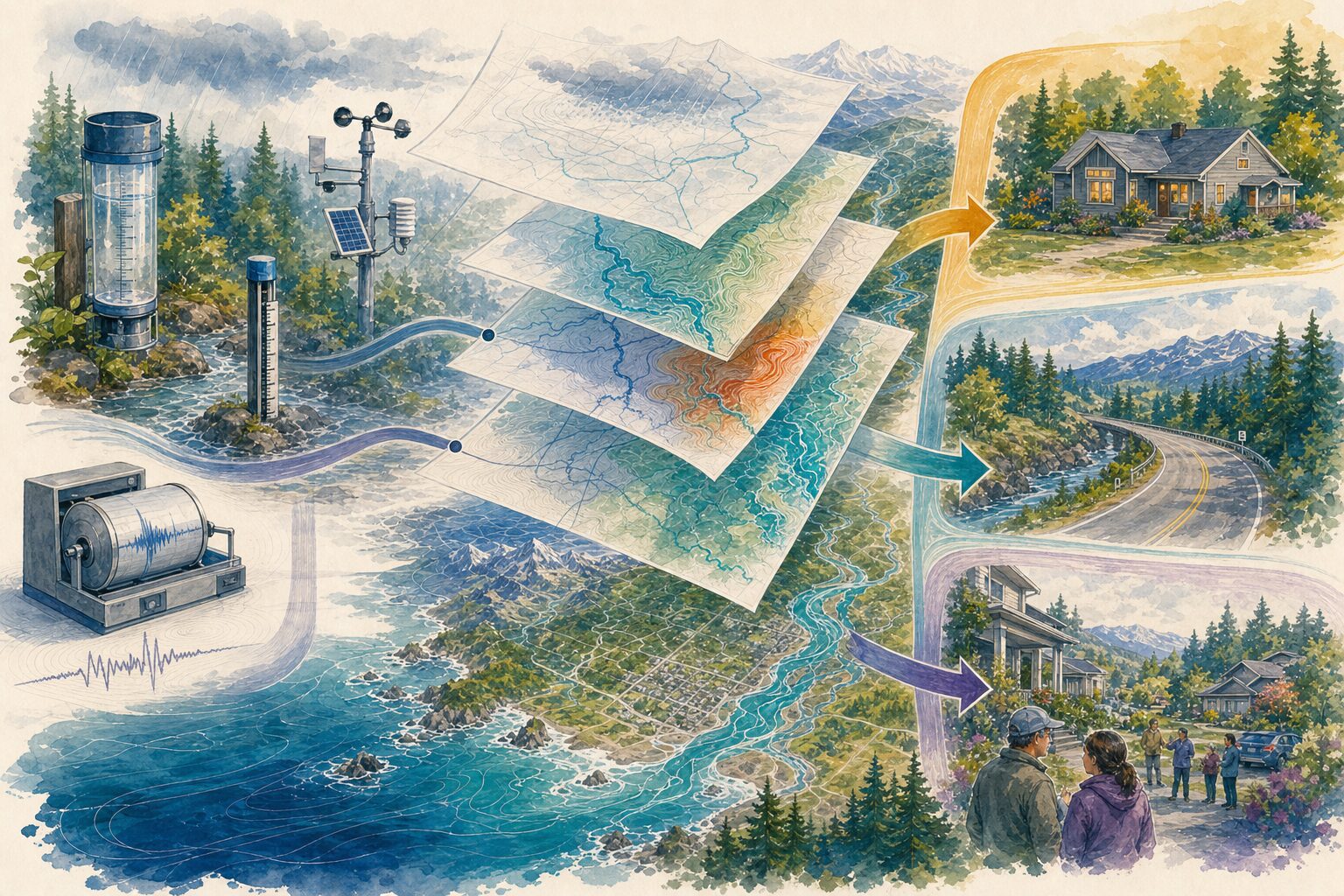
I try to keep every consequential claim within sight of its source. When a map, reading, forecast, or alert appears here, the page tells you what it is, who published it, where it applies, and when that source last updated it. Every substantive page also carries the date I reviewed it.
Those are different clocks. A review date tells you when I last checked the guide. A source time tells you how current a particular reading or notice may be. Live feeds update on their own schedules, and each one covers only the places its publisher includes.
Whenever possible, links lead back to the agency, scientist, public-health authority, Tribe, First Nation, Nation, road operator, or utility responsible for the original information. A summary here should make the source easier to understand and easier to find.
Signals and the Atlas do different jobs. Signals helps you find the agencies and public programs responsible for a place; a directory listing does not mean that agency has issued an alert. The Atlas connects selected reports, observations, forecasts, and planning layers, each with its own coverage and timing limits.
Where the map stops
Maps are useful because they leave things out. That is also what makes them easy to overread.
This site places several kinds of information near one another, but they do different jobs. A gauge or station reading says what one source recorded at a particular time and place. A forecast looks ahead. Historical and planning layers add context. An evacuation order, closure, or warning is different again: it comes from the authority responsible for that place and event, and it takes precedence.
A forecast describes a possible future, not what is happening now. Forecast wind can smooth over the terrain of a ridge or valley; a weather station can describe only the point where it stands. A fire perimeter shows where a boundary was mapped, not where the fire will move next. A planning layer can show broad exposure, but it cannot tell you whether a particular home is safe.
A blank map is not an all-clear. It may mean that no report has been filed, reporting is delayed, the source is offline, coverage is incomplete, or the layer simply does not include that place.
Cascadia crosses an international border and many local jurisdictions. Warning and evacuation systems do not all use the same words. Rather than flatten those differences into one house vocabulary, I use the issuing authority’s terms and link back to its notice. During an event, follow current evacuation orders, closures, warnings, and utility instructions for your location.
This site cannot see the road outside your home, the smoke in your valley, or what someone in your household needs. Use what you know about your surroundings alongside official direction.
What I owe you
When I combine details that recur across many households—the medicine that must stay cold, the animal that cannot be left behind, the ferry that may stop, the neighbor who needs a ride—I call the result a composite. I will not present it as one survivor’s testimony or as something that happened to me. Every Field Story is labeled as fiction, and its factual grounding is kept separate in source notes after the story.
Cascadia is connected geography, not a single culture. Indigenous art and knowledge are not regional atmosphere. When guidance, cultural burning, or knowledge from a particular Tribe, First Nation, Nation, or Indigenous organization belongs in the work, I name the people and the source it came from.
Cascadia.me has no advertising or affiliate links, and no recommendation earns me a commission. Voluntary reader support can help maintain the work, but it never changes what is recommended or who can use it. Public guidance stays public. Support comes after usefulness, never after fear.
I don’t expect a website to make uncertainty disappear. I hope this one helps you understand the place you live, make a few choices before you’re under pressure, and know whose voice to follow when the moment arrives. Then you can close the tab and get on with your day. That matters too.
The network’s binding rules are public in the Resilience Network Constitution. You can also see the review schedule, corrections policy and log, and constitutional amendment history. If something here is wrong or incomplete, I want to know.
Reviewed July 25, 2026