The place
Cascadia, bioregions, and connected systems
What is Cascadia?
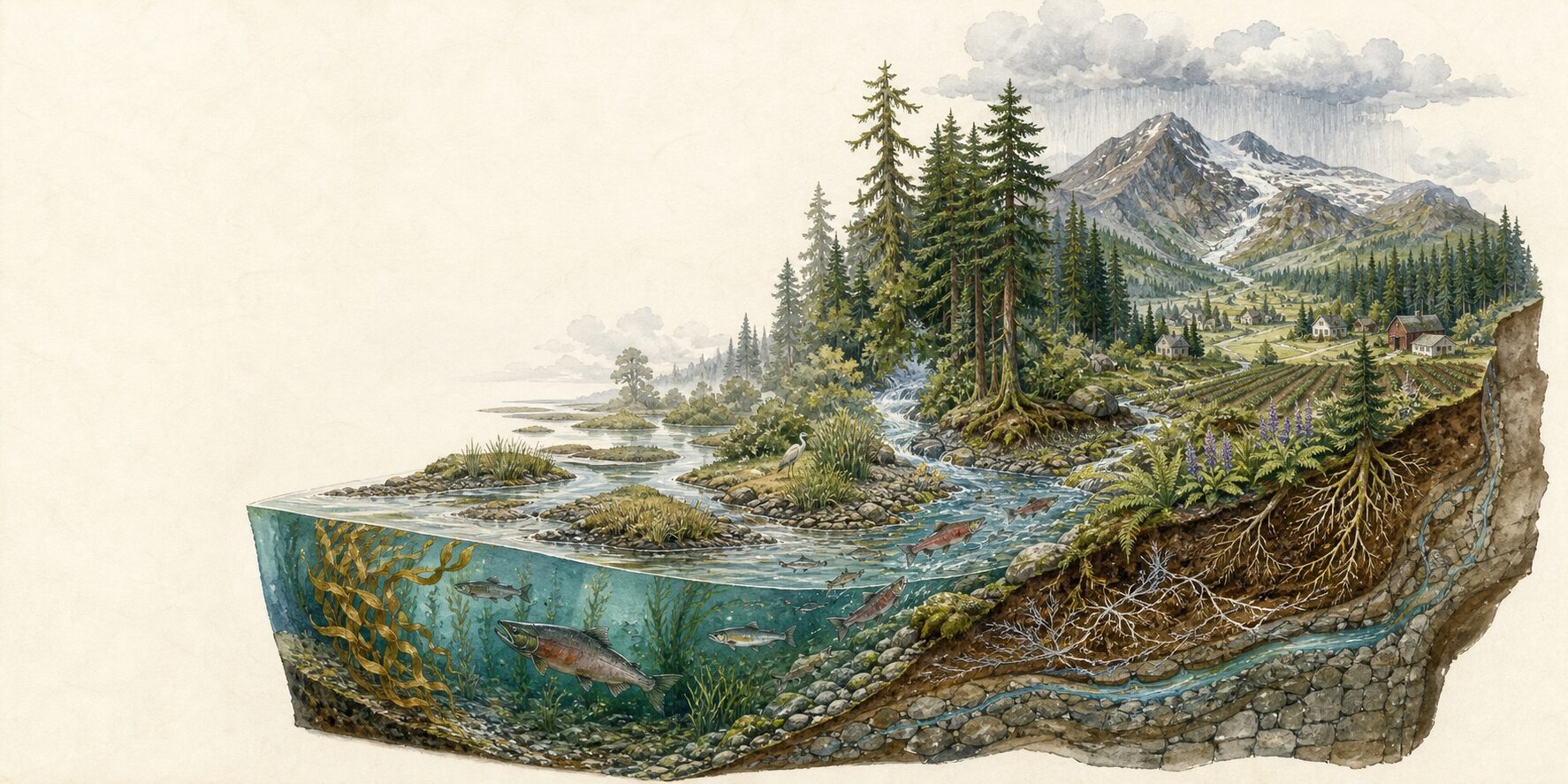
Cascadia is a name often used for the connected Pacific coast, mountains, watersheds, and communities of northwestern North America. Different people draw its edges differently.
Cascadia.me uses a practical working area from northern California through Oregon and Washington into southern British Columbia, and each guide and live layer states the places it actually covers. It is a geographic lens, not a claim that everyone within it shares one identity.
What is a bioregion?
A bioregion is a place understood through living and physical systems—watersheds, climate, terrain, plants, animals, and the ways people live among them. Its edges do not have to match a state, province, or national border.
A bioregional view does not erase those borders or the governments, Tribes, First Nations, and communities within them. It helps reveal what crosses between them.
Where does Cascadia begin and end?
There is no single official Cascadia boundary. Some definitions follow the Cascadia Subduction Zone, some the Pacific Northwest, and some a network of watersheds.
Cascadia.me follows the connected coast, mountains, watersheds, and communities from northern California through Oregon and Washington into southern British Columbia. Coverage still follows each source, so every guide, directory, and map layer names its own extent.
Does calling this place Cascadia treat it as one culture?
No. Connected geography is not a single culture. Cascadia includes sovereign Tribes and First Nations, many governments, languages, histories, and communities, and no regional label replaces their own names or boundaries.
When Indigenous guidance or knowledge belongs in the work, Cascadia.me names the people and the source rather than treating it as regional atmosphere.
What is systems thinking?
Systems thinking means paying attention to relationships, dependencies, and cascading effects instead of treating each problem alone.
A winter storm can load trees with ice, interrupt power, stop a well pump, warm a refrigerator, and create a medication problem. Looking at the whole chain changes preparedness from buying a pile of things to asking: What depends on what? What would become urgent first? Who would be affected?
For a clear introduction, I recommend Donella H. Meadows’s Thinking in Systems: A Primer. Its language of stocks, flows, feedback loops, delays, and leverage points is useful for seeing how shared systems behave at household and bioregional scales.
Is Cascadia.me political?
No. Cascadia.me does not advocate for a new country, a new border, a political party, or a shared political identity.
It uses shared systems as a practical lens. Faults, smoke, storms, rivers, supply routes, and power networks do not stop at state, provincial, or national lines. Public authority still matters. During an event, follow the government, Tribe, First Nation, utility, road operator, or emergency agency responsible for your location.
Why look at preparedness at the bioregional level?
The bioregional scale is wide enough to show connected causes and consequences, but specific enough to stay grounded in this place. Smoke crosses borders. Rivers collect water across many jurisdictions. Earthquakes interrupt regional transport and utilities. A mountain pass or ferry can connect several communities to the same supply route.
The regional view supplies context; local authorities still provide the instructions.
Preparing
How to begin without letting preparation take over
Why preparedness?
Because disruption can turn ordinary dependencies into urgent decisions. A little preparation creates time, options, and attention for the people, animals, routines, and places you care about.
It's ordinary care arranged ahead of time. Begin with one useful improvement, then return to the rest of your life.
Do I need to prepare for every hazard separately?
No. Start with the capabilities that matter across many interruptions: water, safe temperature, medication and health needs, communication, light and power, mobility, reunion, animal care, and reliable official information.
Then add the few hazard-specific decisions your location requires, such as tsunami high ground, a wildfire departure threshold, or an ashfall plan.
Does preparedness require expensive gear?
No. Useful preparation often begins with information and agreements: enrolling in local alerts, writing down contacts, identifying a meeting place, finding a second route, learning who can help an animal or child, and checking what you already own.
Supplies matter, but a costly product cannot replace a workable plan. Build gradually around your actual household, budget, space, and needs.
What can I do today?
Choose one twenty-minute action:
- Find and save the official alert source for your location.
- Put two essential phone numbers on paper.
- Choose an out-of-area contact and a meeting place.
- Find your flashlight and charge your power bank.
- Check the water and medication you already have.
- Ask one neighbor what each of you might need.
One finished step is more useful than an ideal plan that never begins. The household workbook can help you choose the next one.
Where should I begin on Cascadia.me?
If conditions are changing now, use Find Official Help and follow the authority responsible for your location.
If you’re preparing ahead, start with Know Your Place. Then choose the problem in front of you: First Moves, Keep Going, Recovery, or People Nearby. You don’t have to finish the whole site for one useful action to count.
How are the main sections different?
Know Your Place explains local and regional context. First Moves covers the small hazard-specific actions that can’t wait. Keep Going organizes the household consequences that repeat across events. Recovery looks beyond the first response. People Nearby helps households and neighborhoods make practical, consent-based agreements.
Find Official Help routes you to responsible public sources. The Atlas helps you compare selected regional information. Neither one replaces current local instructions.
Is Cascadia.me an emergency alert service?
No. Cascadia.me is a practical planning and interpretation resource. Signals is a directory, not a report of current conditions, and the Atlas contains sources with different update schedules and coverage. An empty map is not an all-clear.
When something is happening, follow the current warning, evacuation order, road closure, utility notice, or other instruction issued for your location.
Is Cascadia.me only about earthquakes?
No. The project began with the Cascadia Subduction Zone, but the place is shaped by connected hazards and systems. Cascadia.me currently covers earthquakes, wildfire, flooding, winter storms, and volcanoes, along with household capabilities, official-source discovery, and regional context.
The guides are separate because immediate decisions differ; the household and the work of recovery remain connected.
Trust & privacy
Who is speaking, what stays public, and where NowWePlan begins
Who writes Cascadia.me, and how is the information checked?
Cascadia.me is independently written by Michael Hendrick, a Washington State resident who began the project while preparing his own young family. I am not an emergency manager or hazard scientist.
I keep consequential claims close to primary scientific, government, public-health, Tribal, First Nation, utility, and transportation sources; distinguish review dates from live-source times; link back to publishers; and state where the information stops. Every substantive page shows when it was reviewed. The Approach explains the work in detail.
What is NowWePlan?
NowWePlan is a separate, optional private planning layer. Cascadia.me helps you understand regional hazards, find public information, and build a free printable household baseline. NowWePlan can help keep that work alive over time by tracking owners, next steps, review dates, reminders, guided conversations, and practice.
You don't need NowWePlan to use Cascadia.me, and official alerts and instructions always come first.
Does Cascadia.me send my information to NowWePlan?
No. Cascadia.me does not transfer answers typed into the household workbook, a Signals location, saved checklist state, or selected sources to NowWePlan. Workbook answers are not saved or sent by Cascadia.me, and Signals checkmarks remain only in your browser.
If you choose to open NowWePlan, you decide what to add there.
Is Cascadia.me free?
Yes. Cascadia.me is public and complete without a purchase or NowWePlan account. It has no advertising or affiliate links.
Voluntary reader support may help maintain the work, but money never changes what is recommended, how it is ranked, or who can use it. Support follows usefulness, never urgency.
What rules govern Cascadia.me?
The Resilience Network Constitution sets twelve binding rules for Cascadia.me and the other network sites. They include consequences before causes, no shame, visible authority boundaries, trust before conversion, accessibility, review dates, open corrections, and clear fiction labels.
Its amendment history is public too. A rule that becomes inconvenient is still a rule. That’s rather the point.
How often is the site reviewed?
Every substantive page shows a review date. Official-help directories are checked monthly; routes and first actions quarterly; hazard and capability guidance twice yearly; and governance and background pages annually.
A major source change, broken critical link, or credible correction report starts an earlier review. See the full review policy.
What happens when something is wrong?
I check the source that issued the information, correct the page itself, update its review date, and record material changes that affect meaning, safety, attribution, coverage, or likely reader action.
Use the Feedback button on the page and include the address and the passage you think needs attention. See the corrections policy and public log.